|
تضامنًا مع حق الشعب الفلسطيني |
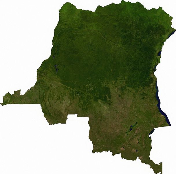
ملف:Dem congo sat.jpg
اذهب إلى التنقل
اذهب إلى البحث

حجم هذه المعاينة: 608 × 600 بكسل. الأبعاد الأخرى: 243 × 240 بكسل | 487 × 480 بكسل | 779 × 768 بكسل | 1٬038 × 1٬024 بكسل | 2٬293 × 2٬261 بكسل.
الملف الأصلي (2٬293 × 2٬261 بكسل حجم الملف: 3٫13 ميجابايت، نوع MIME: image/jpeg)
| هذا ملف من ويكيميديا كومنز. معلومات من صفحة وصفه مبينة في الأسفل. كومنز مستودع ملفات ميديا ذو رخصة حرة. |
ملخص
Raster data download July 12, 2006 from The Map Library: exported to TIFF format, and converted to JPEG via Paint.NET.
ترخيص
| This file is in the public domain, because it was generated by a user, using free sources available at The Map Library.
Note that this does not include the maps in the Global Administrative Areas section of the homepage. |
تاريخ الملف
اضغط على زمن/تاريخ لرؤية الملف كما بدا في هذا الزمن.
| زمن/تاريخ | صورة مصغرة | الأبعاد | مستخدم | تعليق | |
|---|---|---|---|---|---|
| حالي | 05:52، 13 يوليو 2006 | | 2٬293 × 2٬261 (3٫13 ميجابايت) | commonswiki>Unquietwiki | == Summary == Raster data download July 12, 2006 from The Map Library: exported to TIFF format, and converted to JPEG via Paint.NET. == Licensing == {{PD-MapProject}} |
استخدام الملف
ال1 ملف التالي مكررات لهذا الملف (المزيد من التفاصيل):
- ملف:Dem congo sat.jpg من ويكيميديا كومنز
الصفحتان التاليتان تستخدمان هذا الملف: