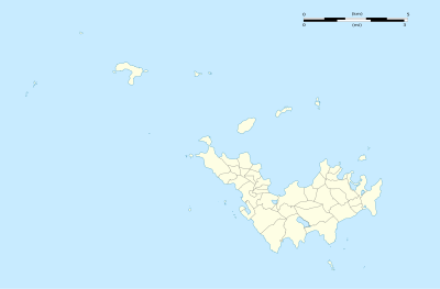
قالب:Location map Saint Barthélemy
| اسم | Saint Barthélemy | |||
|---|---|---|---|---|
| احداثيات الجوانب | ||||
| 17.9875 | ||||
| -62.7625 | →↕← | -62.9625 | ||
| 17.8625 | ||||
| وسط الخريطة | 17°55′30″N 62°51′45″W / 17.925°N 62.8625°W | |||
| ملف الخريطة | Saint-Barthélemy collectivity location map with quartiers.svg | |||

| ||||
| ملف الخريطة (image1) | Saint-Barthélemy collectivity relief location map.jpg | |||

| ||||
| ملف الخريطة (image2) | Saint-Barthélemy collectivity location map.svg | |||

| ||||
How to use an alternative map
This template normally displays the map shown above as image:
- Saint-Barthélemy collectivity location map with quartiers.svg.
The AlternativeMap parameter in قالب:خريطة مواقع can be used to display one of the following images:
- Saint-Barthélemy collectivity relief location map.jpg
- Saint-Barthélemy collectivity location map.svg
Further instructions and examples can be found at Template:Location map.