|
تضامنًا مع حق الشعب الفلسطيني |
ملف:ID Talaud islands.PNG
اذهب إلى التنقل
اذهب إلى البحث
حجم هذه المعاينة: 800 × 543 بكسل. الأبعاد الأخرى: 320 × 217 بكسل | 640 × 434 بكسل | 824 × 559 بكسل.
الملف الأصلي (824 × 559 بكسل حجم الملف: 28 كيلوبايت، نوع MIME: image/png)
| هذا ملف من ويكيميديا كومنز. معلومات من صفحة وصفه مبينة في الأسفل. كومنز مستودع ملفات ميديا ذو رخصة حرة. |
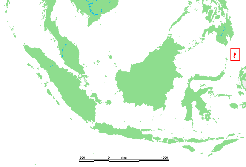
| الوصف | Location of :Talaud islands. | ||||
| المصدر | own work based on PD map | ||||
| المؤلف | edited by M.Minderhoud | ||||
| الترخيص (إعادة استخدام هذا الملف) |
|
تاريخ الملف
اضغط على زمن/تاريخ لرؤية الملف كما بدا في هذا الزمن.
| زمن/تاريخ | صورة مصغرة | الأبعاد | مستخدم | تعليق | |
|---|---|---|---|---|---|
| حالي | 15:12، 16 أبريل 2009 | | 824 × 559 (28 كيلوبايت) | commonswiki>Telim tor | correct locator map showing the "real" Talaud islands |
استخدام الملف
ال1 ملف التالي مكررات لهذا الملف (المزيد من التفاصيل):
- ملف:ID Talaud islands.PNG من ويكيميديا كومنز
الصفحة التالية تستخدم هذا الملف: