|
تضامنًا مع حق الشعب الفلسطيني |
ملف:East of England counties 2009 map.svg
اذهب إلى التنقل
اذهب إلى البحث

حجم معاينة PNG لذلك الملف ذي الامتداد SVG: 573 × 600 بكسل. الأبعاد الأخرى: 229 × 240 بكسل | 459 × 480 بكسل | 734 × 768 بكسل | 979 × 1٬024 بكسل | 1٬957 × 2٬048 بكسل | 1٬210 × 1٬266 بكسل.
الملف الأصلي (ملف SVG، أبعاده 1٬210 × 1٬266 بكسل، حجم الملف: 2٫2 ميجابايت)
تاريخ الملف
اضغط على زمن/تاريخ لرؤية الملف كما بدا في هذا الزمن.
| زمن/تاريخ | صورة مصغرة | الأبعاد | مستخدم | تعليق | |
|---|---|---|---|---|---|
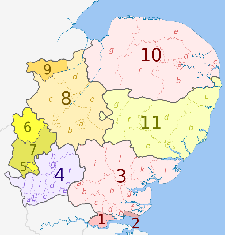
| حالي | 01:06، 1 مايو 2012 | | 1٬210 × 1٬266 (2٫2 ميجابايت) | commonswiki>Dr Greg | == {{int:filedesc}} == {{Information |Description={{en|Map of the East Midlands region of England, showing its counties and administrative districts. The county colours are the same as those in [[:File:English metropolitan and non-m... |
استخدام الملف
ال1 ملف التالي مكررات لهذا الملف (المزيد من التفاصيل):
- ملف:East of England counties 2009 map.svg من ويكيميديا كومنز
الصفحة التالية تستخدم هذا الملف: