|
تضامنًا مع حق الشعب الفلسطيني |
ملف:Adrar Departments2.png
اذهب إلى التنقل
اذهب إلى البحث
لا توجد دقة أعلى متوفرة.
Adrar_Departments2.png (696 × 565 بكسل حجم الملف: 83 كيلوبايت، نوع MIME: image/png)
| هذا ملف من ويكيميديا كومنز. معلومات من صفحة وصفه مبينة في الأسفل. كومنز مستودع ملفات ميديا ذو رخصة حرة. |
ملخص
| الوصف |
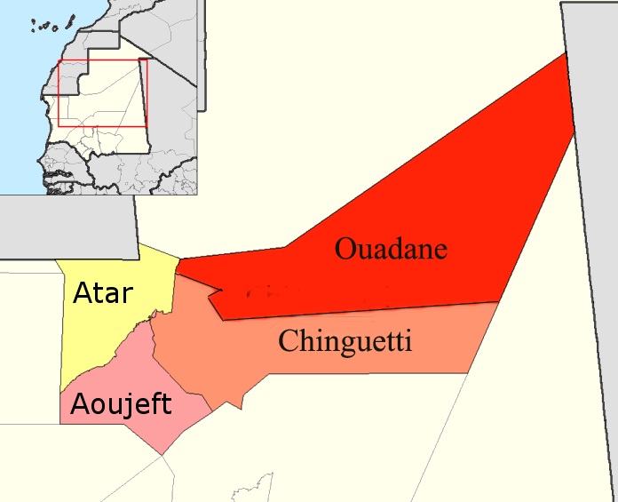
English: Map of the departments of Adrar region of Mauritania. Adapted by User:McTrixie using GIMP, from en:Image:Adrar departments.png created by Rarelibra and from en:Image:Adrar Departments.png by User McTrixie. Summary of changes to original image: two simple enlargements of the names on the map; redone a second time because the names on the map were still small. |
| التاريخ | ٢٩ أبريل ٢٠٠٧ (تاريخ الرفع الأصيل) |
| المصدر | نُقِلت من en.wikipedia إلى كُومُنز بواسطة Gikü. |
| المؤلف | الرَّافِع الأصيل للملفِّ هو McTrixie في ويكيبيديا الإنجليزية. |
| إصدارات أخرى |
 |
ترخيص

|
يسمح نسخ وتوزيع و/أو تعديل هذه الوثيقة تحت شروط رخصة جنو للوثائق الحرة، الإصدار 1.2 أو أي إصدار لاحق تنشره مؤسسة البرمجيات الحرة؛ دون أقسام ثابتة ودون نصوص أغلفة أمامية ودون نصوص أغلفة خلفية. نسخة من الرخصة تم تضمينها في القسم المسمى GNU Free Documentation License. |
| هذا الملفُّ مُرخَّص بموجب رخصة المشاع الإبداعي نسبة المُصنَّف إِلى مُؤَلِّفه - المشاركة بالمثل 3.0 العامة | ||
| ||
| تمت إضافة علامة الترخيص لهذا الملف كجزء من رخصة جنو للوثائق الحرة تحديث الترخيص. |
سجلُّ الرَّفع الأصيل
صفحة الوصف الأصلية كانت هنا، تشير جميع أسماء المستخدمين التالية إلى en.wikipedia.
- 2007-04-29 15:48 McTrixie 776×600× (71024 bytes) Map of the departments of Adrar region of Mauritania. Adapted by User:McTrixie using GIMP, from Image:Adrar departments.png created by Rarelibra. Summary of changes to original image: a simple enlargement of the names on the map, which were so tiny as to
تاريخ الملف
اضغط على زمن/تاريخ لرؤية الملف كما بدا في هذا الزمن.
| زمن/تاريخ | صورة مصغرة | الأبعاد | مستخدم | تعليق | |
|---|---|---|---|---|---|
| حالي | 12:49، 19 نوفمبر 2019 | | 696 × 565 (83 كيلوبايت) | commonswiki>Clemens Schmillen | Contains all departments of the Adrar Region |
استخدام الملف
ال1 ملف التالي مكررات لهذا الملف (المزيد من التفاصيل):
- ملف:Adrar Departments2.png من ويكيميديا كومنز
الصفحة التالية تستخدم هذا الملف: