|
تضامنًا مع حق الشعب الفلسطيني |
ملف:PikiWiki Israel 32639 Ein Feshkha.JPG
اذهب إلى التنقل
اذهب إلى البحث

حجم هذه المعاينة: 800 × 600 بكسل. الأبعاد الأخرى: 320 × 240 بكسل | 640 × 480 بكسل | 1٬024 × 768 بكسل | 1٬280 × 960 بكسل | 2٬000 × 1٬500 بكسل.
الملف الأصلي (2٬000 × 1٬500 بكسل حجم الملف: 719 كيلوبايت، نوع MIME: image/jpeg)
| هذا ملف من ويكيميديا كومنز. معلومات من صفحة وصفه مبينة في الأسفل. كومنز مستودع ملفات ميديا ذو رخصة حرة. |
| الوصف |
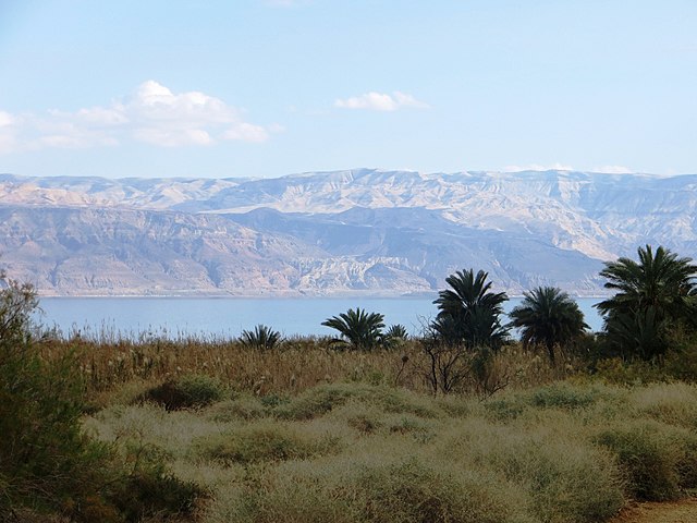
English: Ein Feshkha, Geography of Palestine עברית: נוף מן השמורה לכיוון ים המלח וירדן, Original Image Name:שמורת עין פשחה-עיינות צוקים, Notes:השמורה מחולקת לשלושה חלקים: חלק צפוני המהווה שמורה סגורה (2,700 דונם), חלק מרכזי הפתוח לקהל ובו מספר בריכות שכשוך ומתקני נופש (500 דונם), וחלק דרומי ("השמורה החבויה") בו ניתן לבקר במסגרת סיור מודרך בלבד
(1,500 דונם). , Location:צפון ים המלח |
| التاريخ | |
| المصدر | Yehudit Garinkol via the PikiWiki - Israel free image collection project |
| المؤلف | Yehudit Garinkol |
| الترخيص (إعادة استخدام هذا الملف) |
هذا الملف مُرخص تحت رخصة المشاع المبدع نسبة المصنف إلى مؤلفه 2.5 العامة نسب العمل لمُؤَلِّفه: Yehudit Garinkol Pikiwiki Israel
|
| موقع الكاميرا | | هذه وغيرها من الصور في مواقعها على: خريطة الشارع المفتوحة |
|---|

|
This file has been submitted through the Israeli Pikiwiki project and uploaded here automatically.
The project is cooperation between the Israel Internet Association and Wikimedia Israel in an effort to promote the concept of free content on the Web, by creating an image collection of digital-format, good quality photographs, documenting events relating to the history of Israel, or depicting places of distinction in Israel and the Middle East. The Pikiwiki Project is managed from 2021 by the "Heritage Stones" group.
Please consider notifying the project before renaming or deleting this file. Further information about the project can be found on the commons-l mailing list.
|
تاريخ الملف
اضغط على زمن/تاريخ لرؤية الملف كما بدا في هذا الزمن.
| زمن/تاريخ | صورة مصغرة | الأبعاد | مستخدم | تعليق | |
|---|---|---|---|---|---|
| حالي | 16:06، 6 أغسطس 2013 | | 2٬000 × 1٬500 (719 كيلوبايت) | commonswiki>Pikiwikisrael | {{Information |Description={{en|Ein Feshkha, Geography of Israel}} {{he|נוף מן השמורה לכיוון ים המלח וירדן, Original Image Name:שמורת עין פשחה-עיינות צוקים, Notes:השמורה מחולקת לשלוש... |
استخدام الملف
ال1 ملف التالي مكررات لهذا الملف (المزيد من التفاصيل):
- ملف:PikiWiki Israel 32639 Ein Feshkha.JPG من ويكيميديا كومنز
الصفحة التالية تستخدم هذا الملف: