|
تضامنًا مع حق الشعب الفلسطيني |
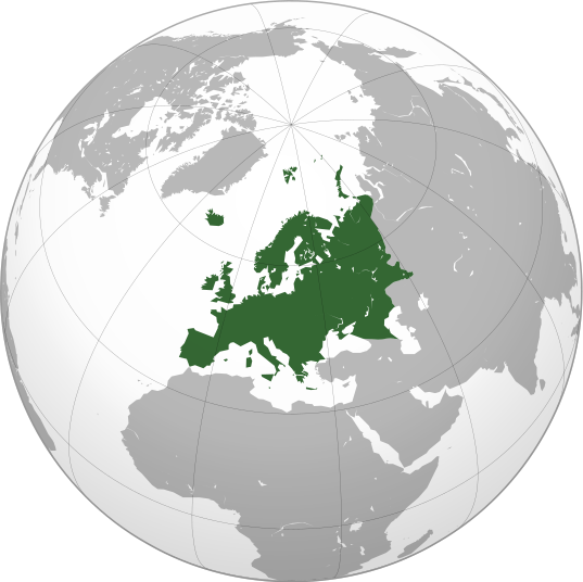
ملف:Europe orthographic Caucasus Urals boundary.svg
اذهب إلى التنقل
اذهب إلى البحث

حجم معاينة PNG لذلك الملف ذي الامتداد SVG: 537 × 536 بكسل. الأبعاد الأخرى: 240 × 240 بكسل | 481 × 480 بكسل | 769 × 768 بكسل | 1٬026 × 1٬024 بكسل | 2٬052 × 2٬048 بكسل.
الملف الأصلي (ملف SVG، أبعاده 537 × 536 بكسل، حجم الملف: 77 كيلوبايت)
تاريخ الملف
اضغط على زمن/تاريخ لرؤية الملف كما بدا في هذا الزمن.
| زمن/تاريخ | صورة مصغرة | الأبعاد | مستخدم | تعليق | |
|---|---|---|---|---|---|
| حالي | 17:32، 4 سبتمبر 2022 |  | 537 × 536 (77 كيلوبايت) | commonswiki>M.Bitton | Reverted to version as of 12:03, 4 September 2022 (UTC): per COM:OVERWRITE |
استخدام الملف
ال1 ملف التالي مكررات لهذا الملف (المزيد من التفاصيل):
- ملف:Europe orthographic Caucasus Urals boundary.svg من ويكيميديا كومنز
ال33 صفحة التالية تستخدم هذا الملف:
- المرأة في أبخازيا
- المرأة في أذربيجان
- المرأة في أرمينيا
- المرأة في ألبانيا
- المرأة في ألمانيا
- المرأة في أندورا
- المرأة في إيطاليا
- المرأة في البرتغال
- المرأة في البوسنة والهرسك
- المرأة في الجبل الأسود
- المرأة في الدنمارك
- المرأة في السويد
- المرأة في الفاتيكان
- المرأة في النمسا
- المرأة في اليونان
- المرأة في بلجيكا
- المرأة في بولندا
- المرأة في بيلاروسيا
- المرأة في ترانسنيستريا
- المرأة في تركيا
- المرأة في جورجيا
- المرأة في روسيا
- المرأة في سان مارينو
- المرأة في فنلندا
- المرأة في كرواتيا
- المرأة في مالطا
- المرأة في مقدونيا الشمالية
- حقوق المثليين في أوروبا
- قائمة جوازات السفر
- قائمة جوازات السفر الدولية
- قائمة مفاتيح الاتصال الدولية
- أرابيكا:مقالة الصفحة الرئيسية المختارة/398
- قالب:المرأة في أوروبا

